

01
Cache observations
NASA POWER and MODIS observations are cached before analysis; missing records never become estimated values.
MEC TERRA_DETECTORS
The challenge connection, research method, source documentation and presentation evidence behind TerraBangla.
NASA Space Apps Challenge 2026
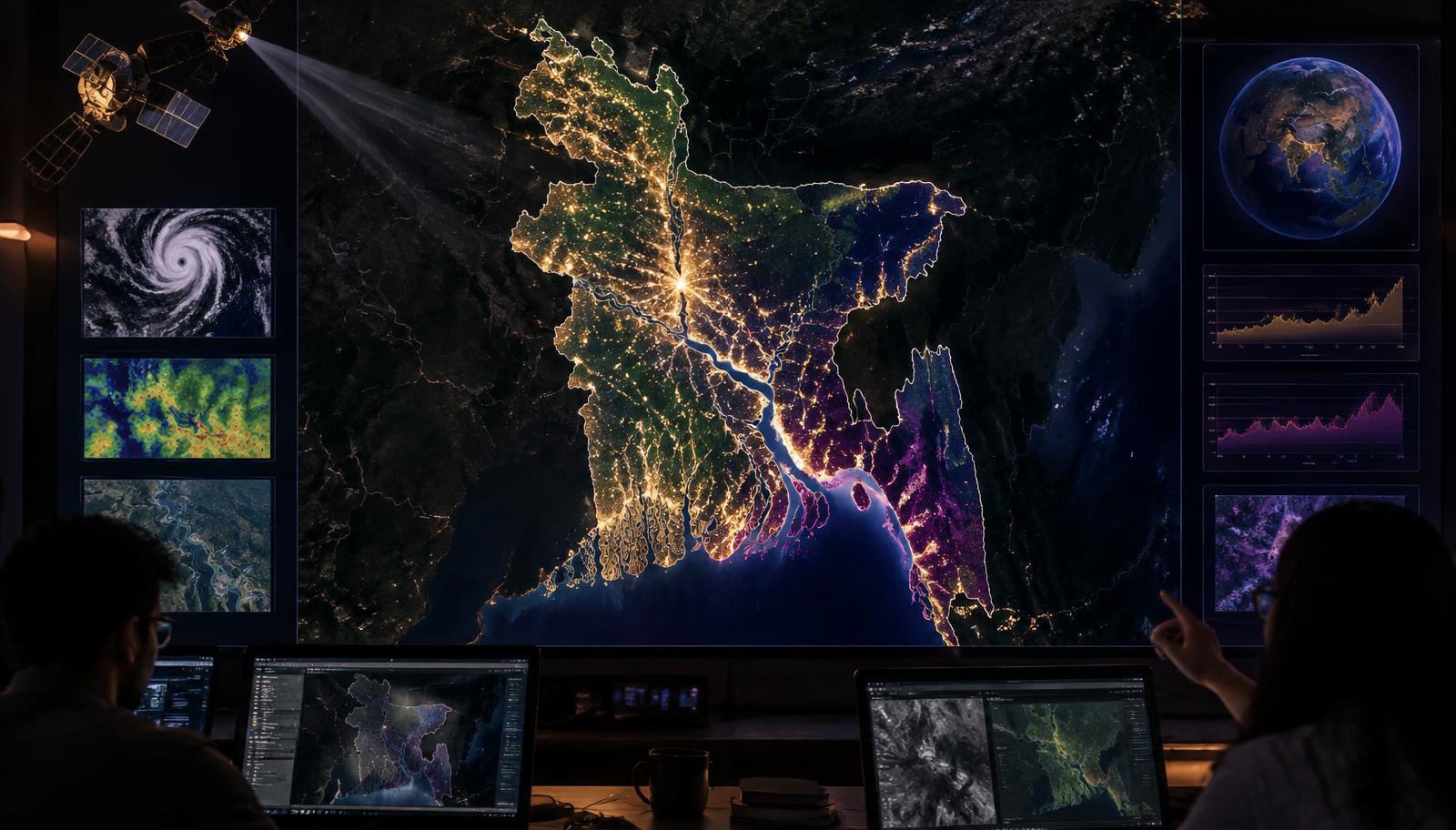
MEC TERRA_DETECTORS built TerraBangla for the NASA Space Apps Challenge 2026 challenge, ‘Be An Earth System Trend Detective!’. It turns NASA Earth-observation records into explorable climate evidence for all 64 districts of Bangladesh—without inventing missing values.
Team presentation
Private research record
Every completed Evidence Lab question and grounded answer is saved here for your account only.
Reproducible method
NASA POWER and MODIS observations are cached before analysis; missing records never become estimated values.
Mann–Kendall tests direction and significance; Theil–Sen estimates the robust rate of change.
Every chart keeps its dataset ID, source URL and retrieval record beside the result.
Monthly air temperature, precipitation and solar-radiation observations used by TerraBangla.
https://power.larc.nasa.gov/
Satellite vegetation (NDVI) and land-surface-temperature records used in district evidence.
https://modis.ornl.gov/rst/api/v1/
The global challenge programme for which MEC TERRA_DETECTORS created TerraBangla.
https://www.spaceappschallenge.org/
Open administrative boundaries used to represent Bangladesh’s 64 districts.
https://www.geoboundaries.org/
The documentation covers the 3D globe workflow, all 64 district records, five climate variables, provenance, heatmap exports, statistical comparison, the grounded AI Evidence Lab, the children’s learning studio, accessibility and PWA installation.